Altura Services
Professional Drone Services for Construction, Roofing, Mapping & Aerial Photography
FAA Part 107 Certified - Fully Insured - Serving New Jersey - Commercial & Residential Projects - OSHA 10 Hour Construction Certified
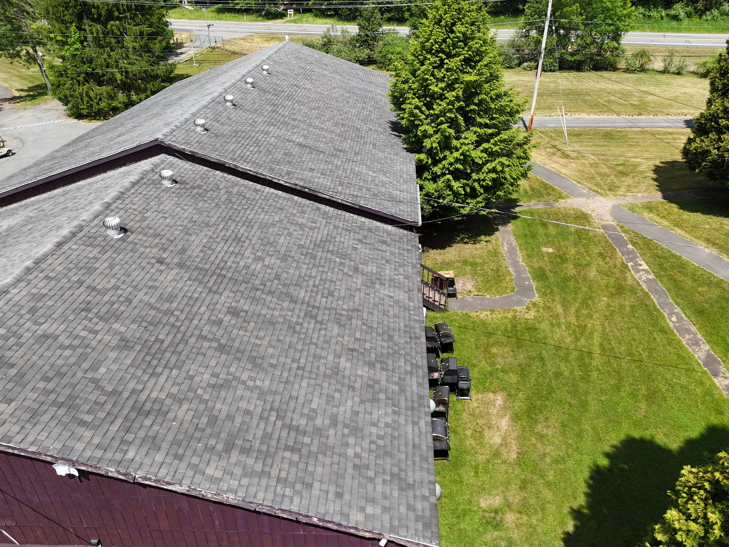
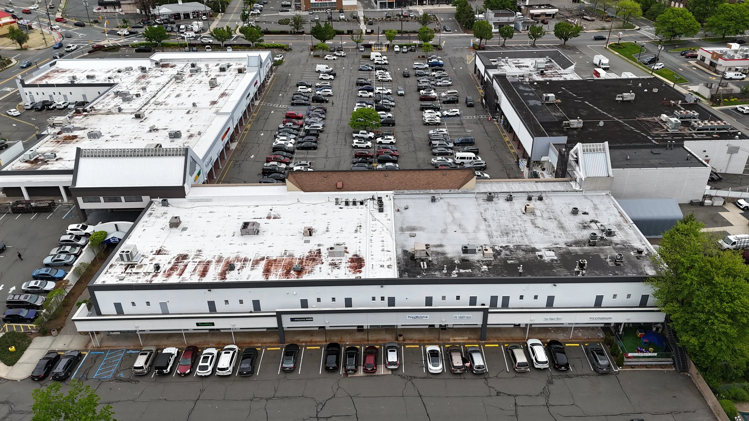
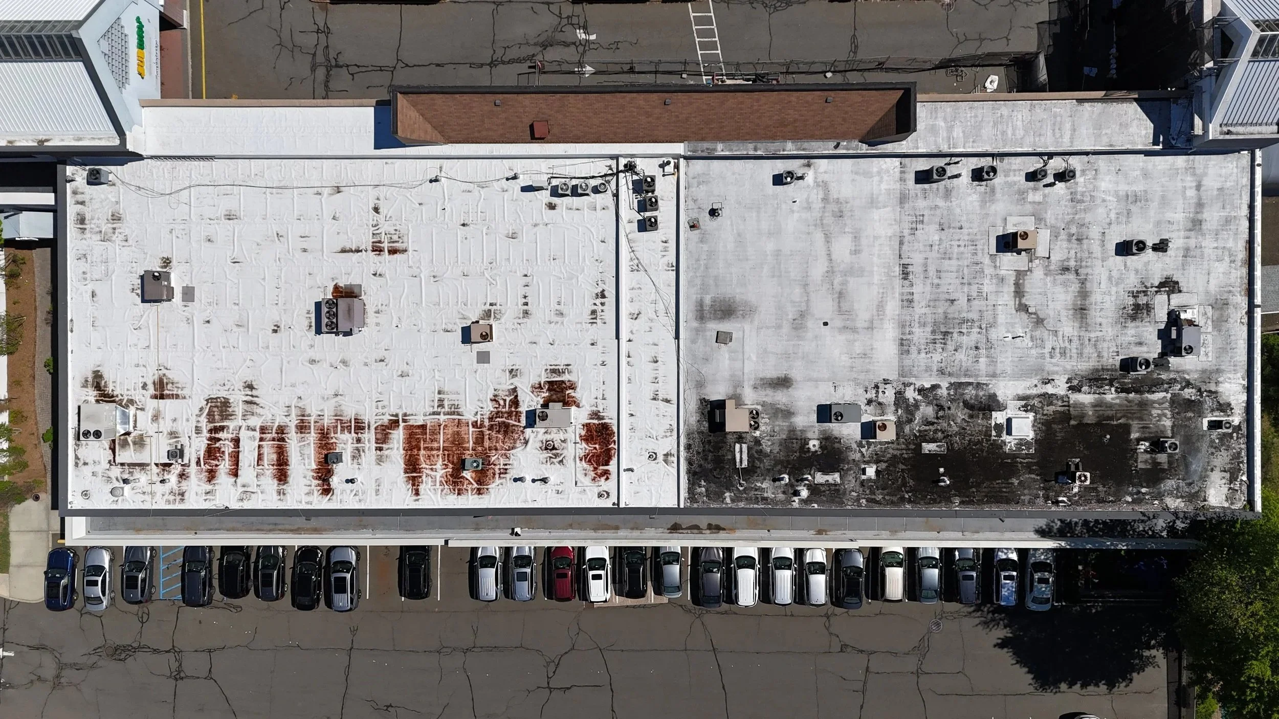
Custom Aerial Roof Documentation
Every roof requires a different level of coverage. Altura Services creates a customized capture plan based on the property, intended use, and requested deliverables.
Available coverage:
Overall roof and property views
Individual roof-side imagery
Close-up photographs of visible conditions
Roof edges, penetrations, drainage areas, and equipment
Exterior elevations and ground-level photographs
Full-resolution digital delivery
Optional deliverables:
Aerial video
Orthomosaic imagery
Additional detail photographs
Repeat documentation visits
Expedited delivery
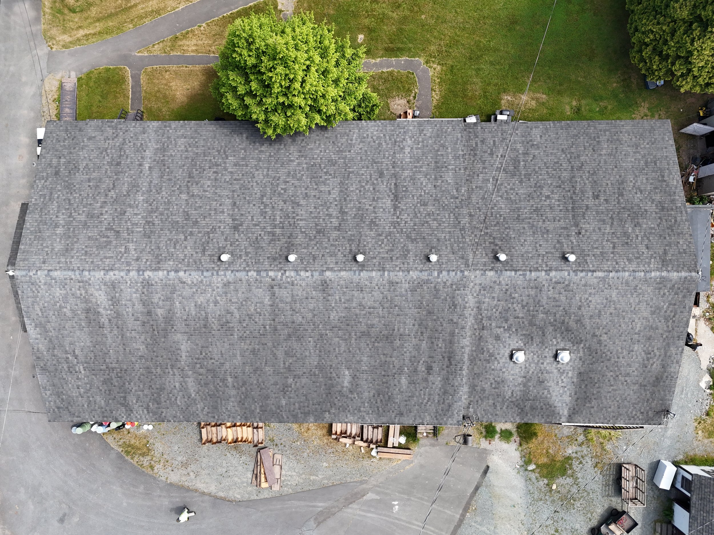
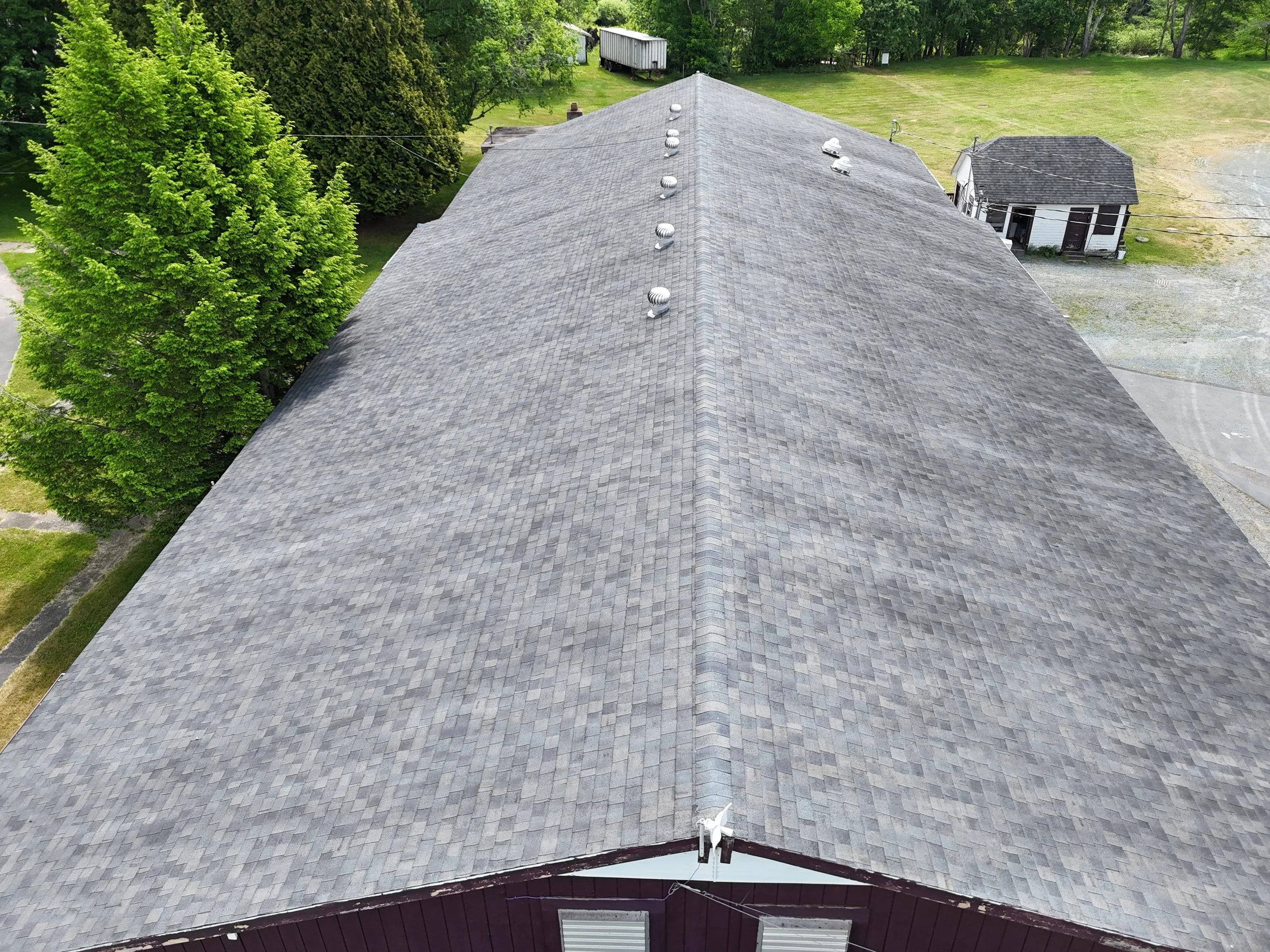
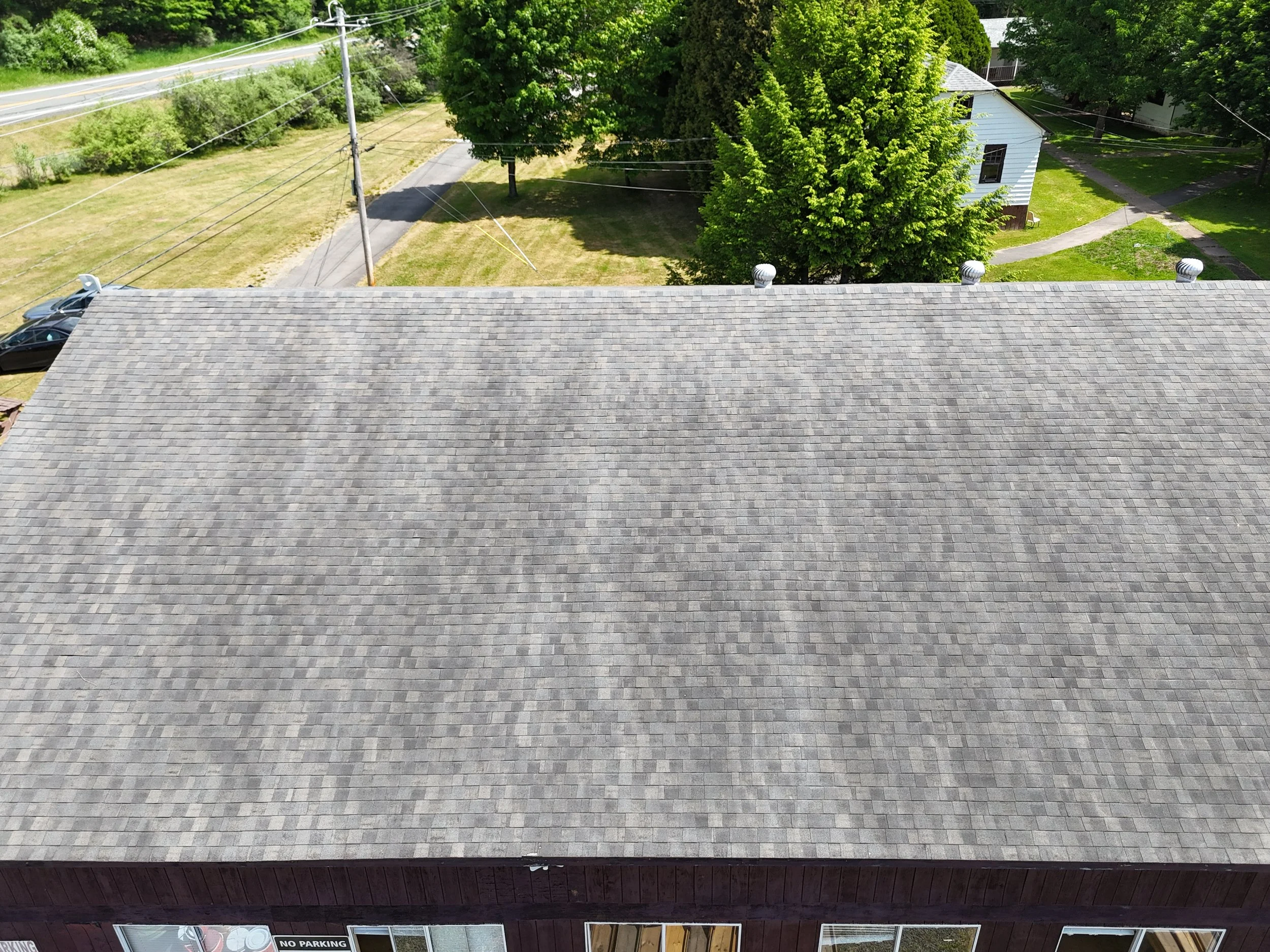
Pricing is based on property size, location, airspace requirements, travel, access, and requested deliverables.
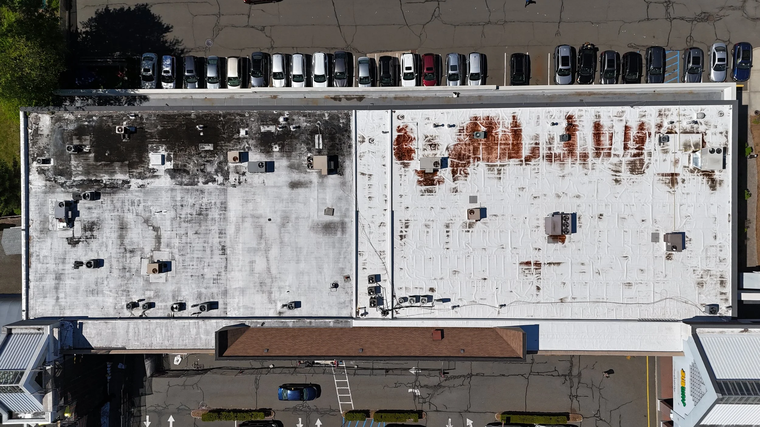
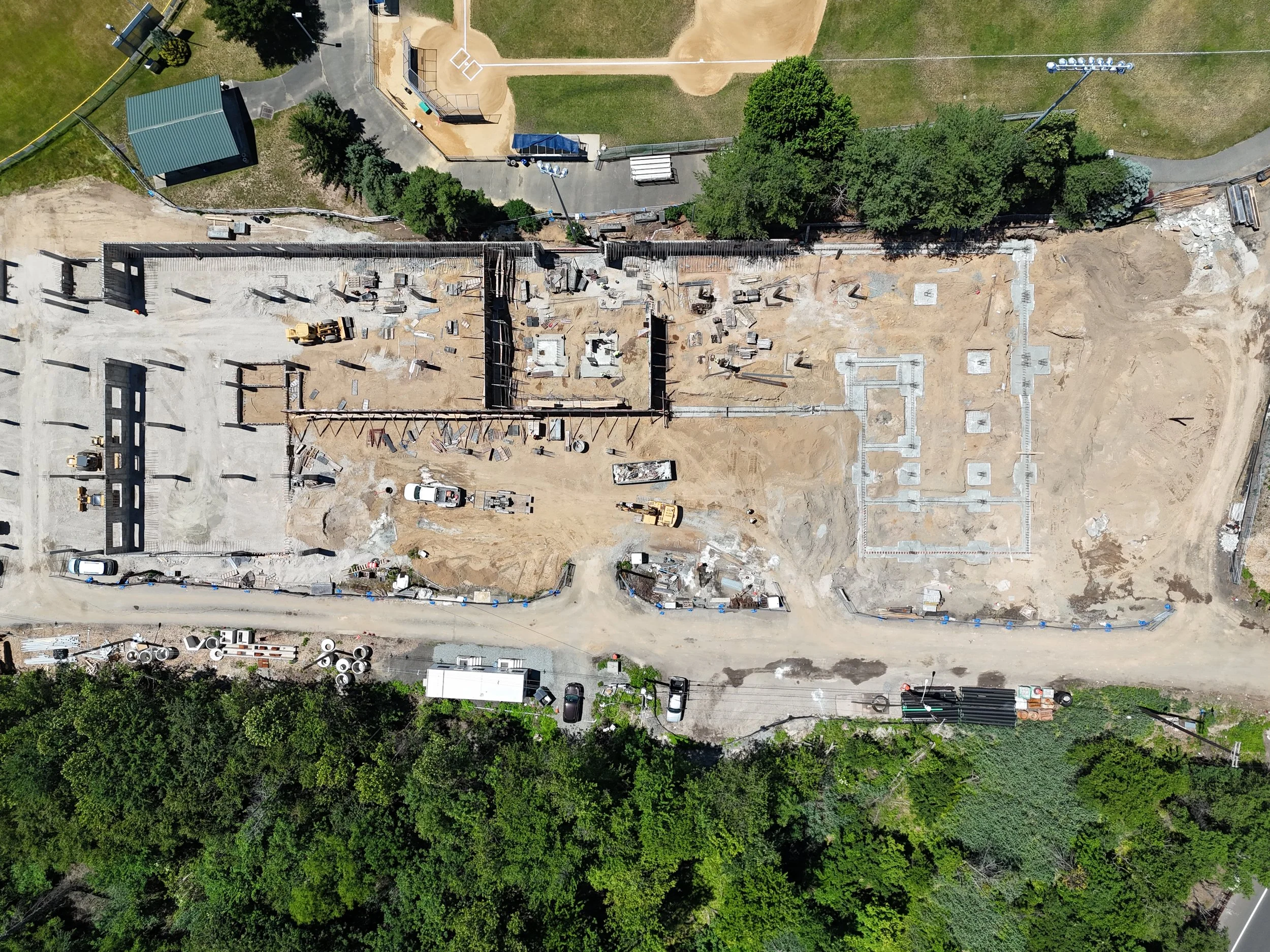
Construction Progress Documentation
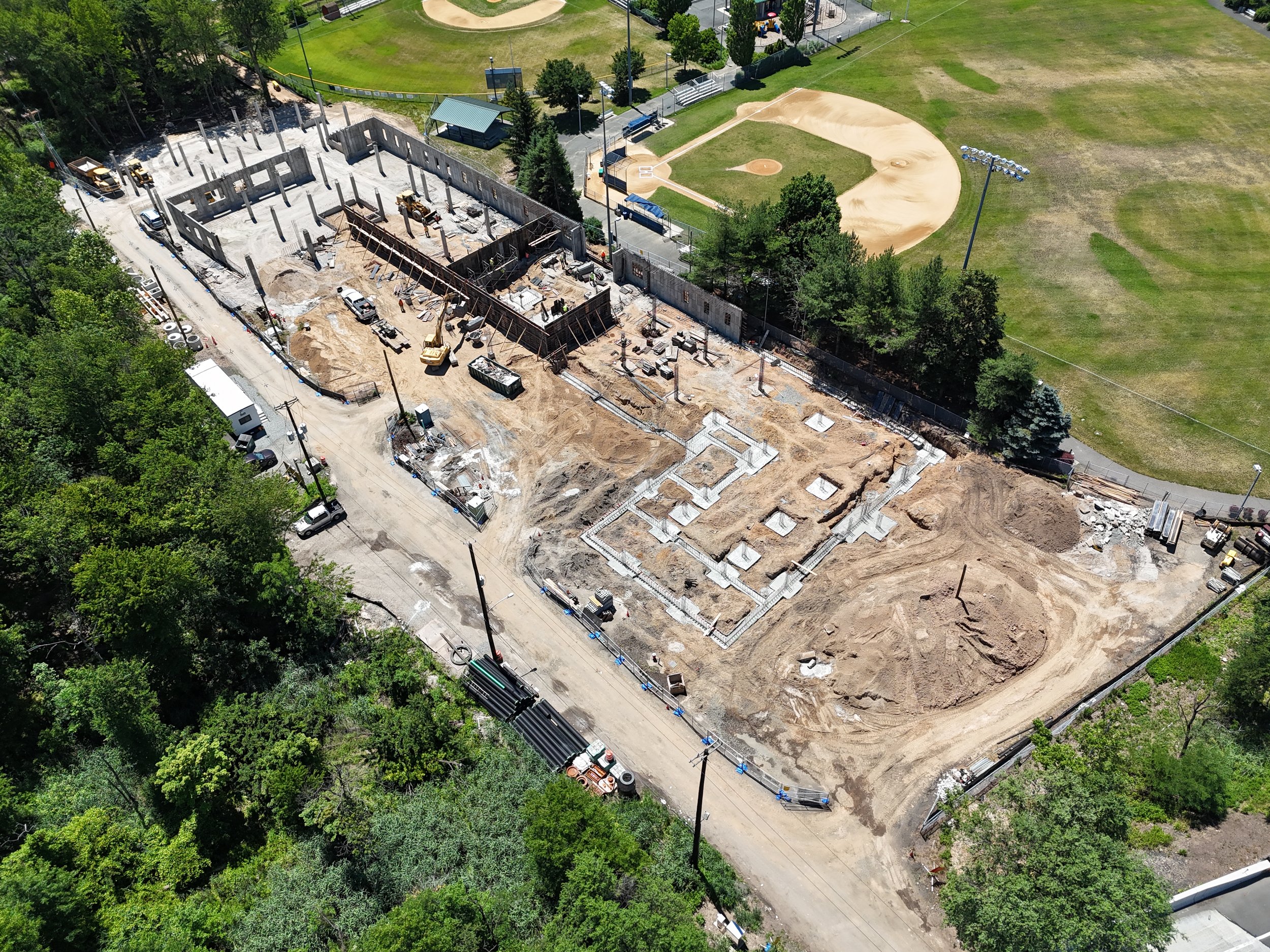
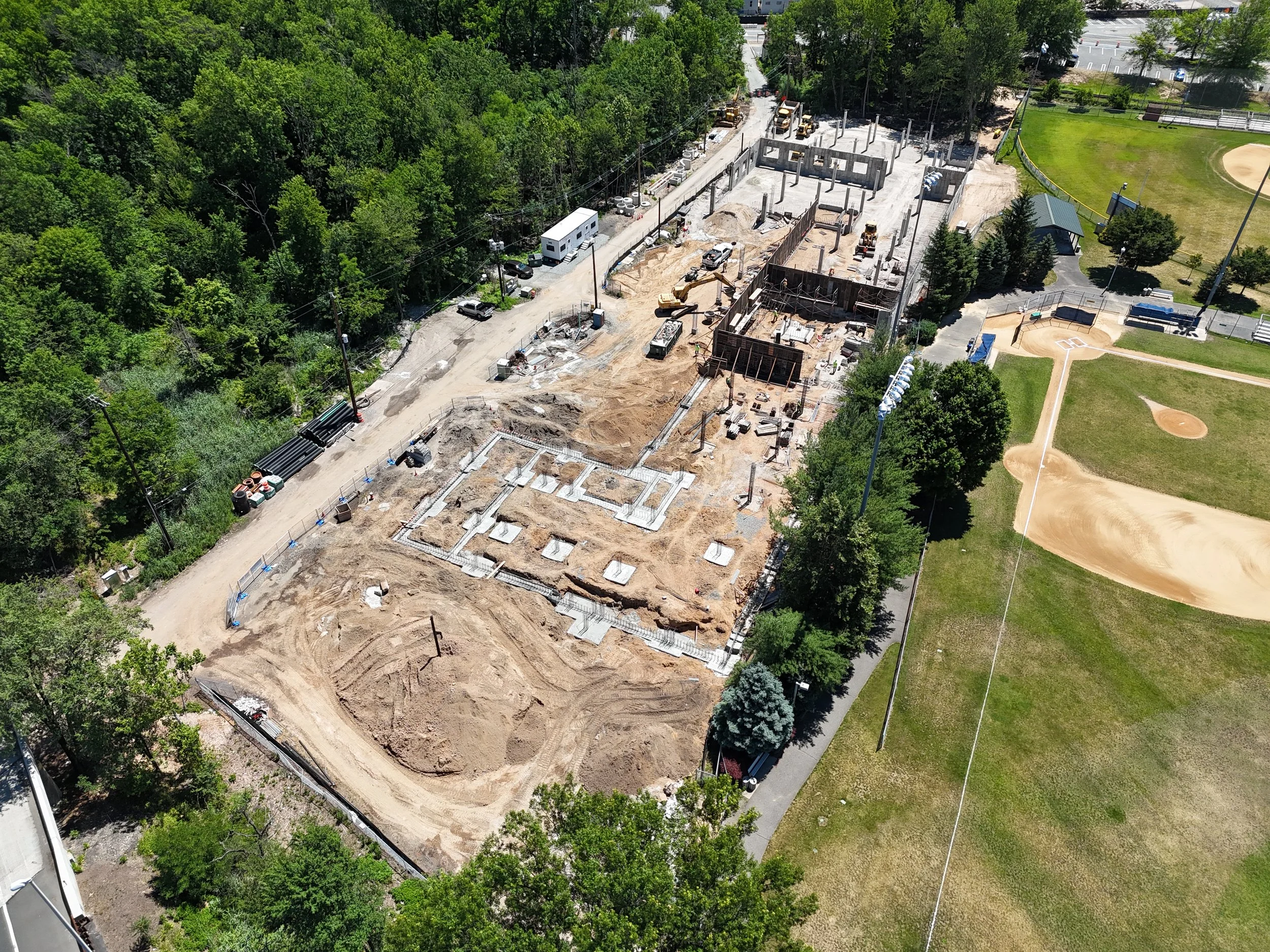
Current site-condition documentation
Aerial overview imagery
Ground-level photographs when requested
Project milestone or marketing coverage
Full-resolution digital delivery
Two scheduled visits per month
Consistent aerial and ground coverage
Progress photographs and video
Milestone tracking
Priority scheduling
Organized digital archive
One scheduled visit per month
Consistent aerial viewpoints
Progress photographs and video
Before-and-after comparisons
Organized digital archive
Maintain a clear visual record of your construction project with scheduled aerial and ground-level documentation. Consistent imagery helps contractors, developers, property owners, and project teams review progress, document milestones, communicate with stakeholders, and compare site conditions over time.
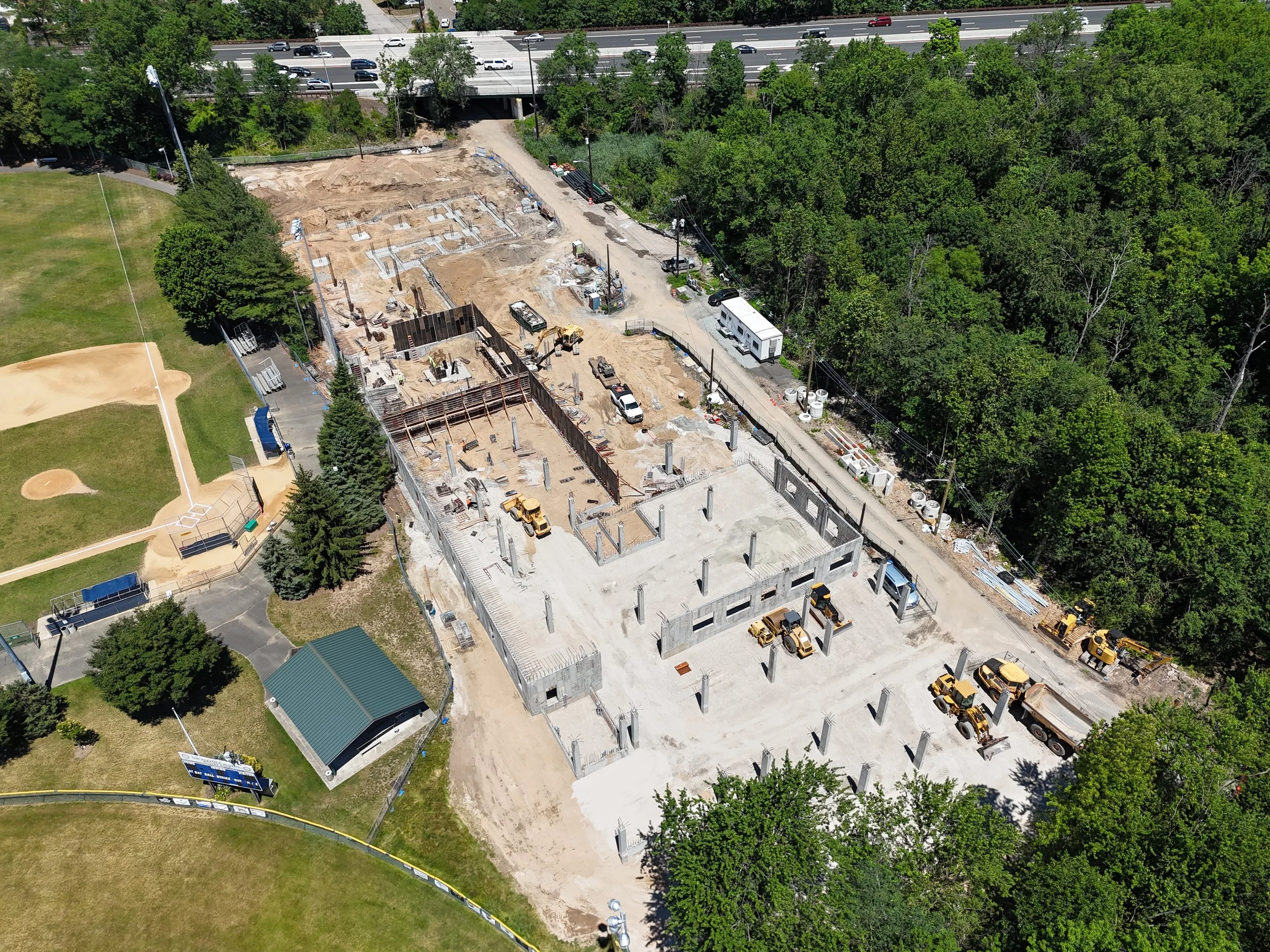
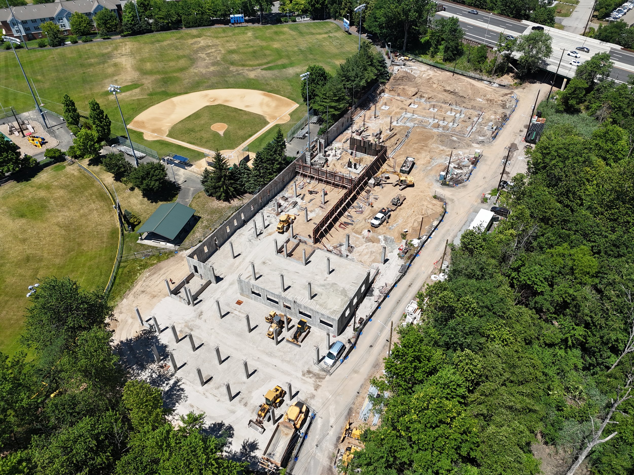
Visit frequency and deliverables are customized around your project schedule, site size, location, and documentation requirements.
Optional Project Services
Orthomosaic Map
A detailed overhead map created from drone imagery for site documentation, planning, and progress tracking.
3D Model
An interactive three-dimensional model that provides enhanced site visualization and project documentation.
Ground-Level Photography
Additional ground-level photographs that provide supporting details alongside aerial imagery.
Expedited Delivery
Priority processing for clients working with urgent project deadlines.
Custom Aerial Mapping & 3D Modeling
Every site requires a different level of coverage. Altura Services creates a customized aerial capture plan based on the project area, intended use, and requested deliverables.
2D Site Mapping
Includes:
• High-resolution aerial image capture
• Stitched overhead orthomosaic map
• Georeferenced digital deliverables
• JPG and PDF exports
• Coverage tailored to the project area
Ideal For:
• Construction documentation
• Property overviews
• Site planning and visualization
• Progress tracking
3D Site Modeling
Includes:
• Detailed aerial image capture
• Textured 3D site model
• Shareable online viewer
• High-resolution project imagery
• Coverage tailored to the project area
Ideal For:
• Site visualization
• Marketing presentations
• Construction monitoring
• Asset documentation
Complete Site Documentation
Includes:
• 2D orthomosaic map
• Interactive 3D site model
• Aerial overview imagery
• Repeat progress documentation
• Organized digital delivery
Ideal For:
• Construction projects
• Developers
• Project teams
• Property managers
Pricing is based on site size, location, airspace requirements, processing needs, and requested deliverables.
Mapping and 3D models are intended for visual documentation and are not substitutes for a licensed land survey.